
Forum for Operational Oceanography News
Experimental drifting wave buoy observations of Severe Tropical Cyclone Debbie
April 2017
A tropical low developed in the Coral Sea that formed into a low level Category 1 Tropical Cyclone Debbie on the morning of March 25, 2017. Two days earlier the predicted track was to move across the coast between Innisfail and Lucinda remaining a Category 1. This was not seen as all bad news at the time. The Great Barrier Reef (GBR) has been experiencing a prolonged bleaching event in the north and central GBR for the second successive year and with almost 90% of Queensland being officially declared in drought, the potential benefits were that the cyclone would take up the ocean heat energy, winds would mix and cool the reef waters with a rain depression over land, filling the dams.
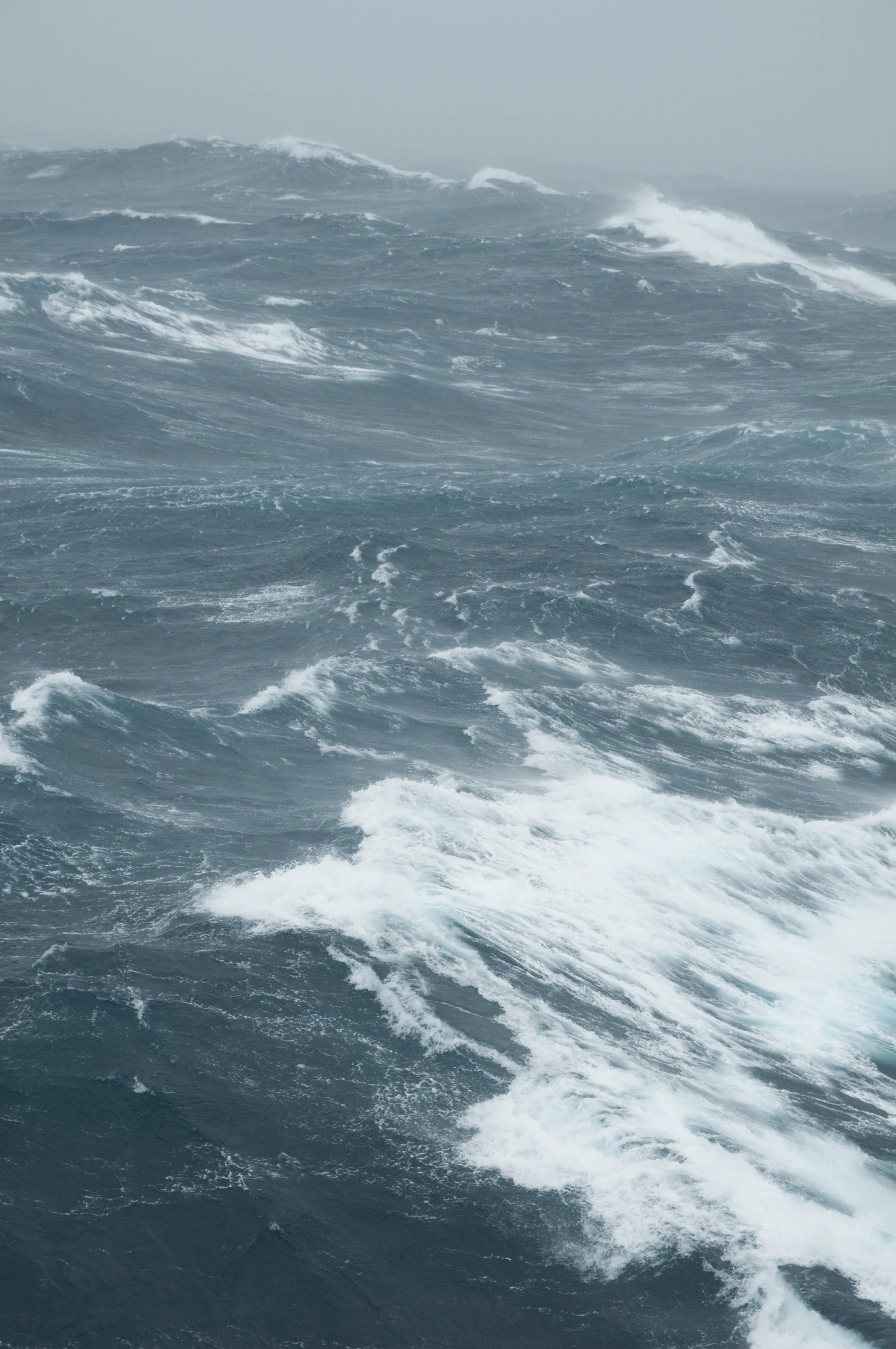
From an ocean observing point of view, this provided us with the possibility to observe cyclone generated waves in the GBR lagoon and also to look at how the shelf stratification would break down through mixing. An Integrated Marine Observing System (IMOS) Slocum glider was deployed a few weeks earlier and was profiling along the Palm Passage where IMOS have two delayed mode instrumented moorings. The Coastal Impacts Unit of the Department of Science, Information Technology and Innovation (DSITI) from the Queensland State Government have a well established storm surge and wave rider buoy network along the Queensland coast. In recent years they also have acquired a number of drifting buoys named “BOB” (Baby Ocean buoy) a smaller 40cm diameter version of the moored Datawell waveriders, that are stationed in regional coastal centres available for deployment in extreme events. For example in 2015, TC Nathan crossed over Lizard Island in the north well away from any coastal measurement infrastructure. They deployed a BOB off Cooktown by helicopter and it was drawn toward the cyclone and yielded a maximum wave measurement in the GBR lagoon of over 9m.
The Australian Institute of Marine Science (AIMS) also acquired a new wave drifting buoy after discussions with Luca Centurioni from Scripps Institution of Oceanography in the USA that is smaller, being 35cm in diameter. We chose to name our buoy “Tim”. On Thursday March 23 with the predicted track of TC Debbie being to the north of us, AIMS experimental scientist Matthew Beck successfully deployed BOB3 and Tim with the assistance of the Palm Island barge company MV Lady Fraser on the friday. A third, BOB5, was deployed the next morning from the end of the 6km Lucinda Jetty where the IMOS ocean colour infrastructure is located. All deployments drifted with the wind and currents northwards up the lagoon toward Cairns avoiding the many reefs, shoals and islands. However TC Debbie remained moving slowly to the south and delayed its turn to the southwest so that the drifters were well north of the cyclone in quite a benign weather and wind environment rather than the planned for area to the southwest of Debbie where the strongest winds and waves occur.
The track of Tim shows it negotiating the coastal islands and reefs up the GBR lagoon moving northwards and finally reversing direction once TC Debbie crossed the coast. Initial data reveals that the maximum significant wave height (Hsw) was only 1.5m for the deployment. In contrast the Maximum wave height recorded by the Hay Point waverider buoy was over 6m, with a Hsw of ~3.9m. Note that these are preliminary data subject to quality control.
The relatively calm conditions to the north has meant that the hoped for cooling of the GBR was confined to the South of Townsville and offshore in the Coral Sea as seen in the BoMs RAMSSA SST anomaly product.
Nevertheless these experimental deployments are important as in situ wave measurements in extreme events are seldom made and can be used to inform operational agencies of the conditions at sea and also to help improve and validate models of these extreme events. This activity is one of a number that DSITI, Scripps and AIMS are planning over the next year as a budding collaboration to evaluate and inter-compare existing and emerging wave measuring technologies and platforms. AIMS has partnered with Boeing to trial a wave glider. Movements of which, can be controlled so that we are not at completely at the whim of the currents and weather. The drifters can also be anchored to provide fixed point observations. We will also inter-compare the Scripps wave buoy with existing DSITI coastal wave buoy and a bottom mounted ADCP off the Gold Coast and Cape Cleveland near Townsville.
With each drifting buoy deployment it is incumbent on us to make reasonable efforts to recover the units. A request was made and the MV Hero recovered BOB3 and Tim, with BOB5 recovered in the early hours of April 1 by the MV Kalinda whilst on a charter with AIMS assessing coral bleaching near Rib Reef. This exercise also shows the enthusiasm of industry and tourism operators to engage and assist with the logistics of ocean observations and so we thank them for their assistance.
More detailed analyses of TC Debbie effects on the ocean are being made by Meteorologists and Oceanographers that will also access other in situ observations including the IMOS glider, sensor network and moorings data. The latter being delayed mode and scheduled to be recovered in early June.
This article was written by Craig Steinberg, AIMS Oceanography and Shelf Processes Research Team Leader and IMOS Australian National Mooring Network Facility Leader.
DSITI’s storm tide and wave monitoring networks can be found on the Queensland Government webpages: www.qld.gov.au/tides and www.qld.gov.au/waves
Tropical Cyclone Nathan Factsheet
BoMs RAMSSA products ingest several IMOS SST data streams – apart from the IMOS fv01 AVHRR L2P SSTs, it also ingests the IMOS ship, IMOS Argo and IMOS seal CTD SST data, provided that these data reach the GTS within 24 hours of observation products. Daily RAMSSA SST maps can be sourced from http://www.bom.gov.au/marine/sst.shtml